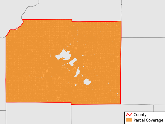
Dane County Parcel Data
Wisconsin
Total Parcels: 333,363 parcels
Last Updated: 2026-Q3
Recently Updated!
Total Population: 483,913
Dane County FIPS Code: 55025
Would you like to download Dane County gis parcel maps?
Parcel data and parcel GIS (Geographic Information Systems) layers are often an essential piece of many different projects and processes. With the help of our parcel viewer, many characteristics of real estate and mineral properties can be visualized and analyzed over an area of interest.
Dynamo Spatial's Pinpoint Parcels product is a first-class parcel layer containing deep data attributes about property valuations, legal descriptions, land ownership, service areas, census statistics, environmental conditions and much more. Through spatial analysis, parcel gis may also be used to increase the value of other reference layers, with methods such as intersection, proximity, buffer and overlay functions. Many industries already require the use of parcel maps on a daily basis and many more are beginning to discover the benefits that this added insight provides.
Each day we help companies find new efficiencies and money saving advantages by providing the highest quality parcel GIS with our fast and easy download process. We provide the parcel data in the ESRI Shapefile (.SHP file) gis format but we can also convert it into a number of industry standard formats for easy import into virtually any third-party software application. Examples include: ESRI ArcMap, LandWorks GIS, Quorum Land System, OGSYS, P2 Tobin Products, Autodesk Map, LandBoss, Enertia Products, GeoGraphix, Petra, ILandMan and more.
Attributes available in the Dane County parcels download (ESRI Shapefile):
Here are some of the industries that have found our parcel viewer to be an indispensable resource in their daily operations:
Government
- Tax Appraisal and Assessment
- Public Safety
- Law Enforcement
- Homeland Security
Telecommunications
- Right of Way
- Call Before You Dig
- Asset Management
- Meter Reading Services
Real Estate, Demographic Studies, Commercial
- Owner Contact Information (Mailing Addresses)
- Property Values
- Legal Descriptions
- Demographics Information
- Assessment Information
- Service Boundaries
- School Districts
- Aerial Imagery
Financial Institutions - Banks, Lenders, Finance Companies, Title Companies
- Return on Investment Research
- Tax Liability Calculations
- Loan Processing
- Collateral Value Estimation
Insurance - Flood Insurance, Fire Insurance
- Flood Certification
- Risk Assessment
- Disaster Damage History
- Underwriting Management
- Property Tax Values